Products
Navigation Products
Marine Products
UDC Products
Industry Solutions
News Center
About Us
Communication & Navigation Products
Radar
Bridge Navigation Watch Alarm
Electronic Chart
Smart Bridge Integrated Navigation System
Hai Yu Hang
Voyage Data Recorder
Ship Steering Control System
Rudder Angle Indicator
Anemometer/Wind Direction and Weather Instrument (AM/AMD)
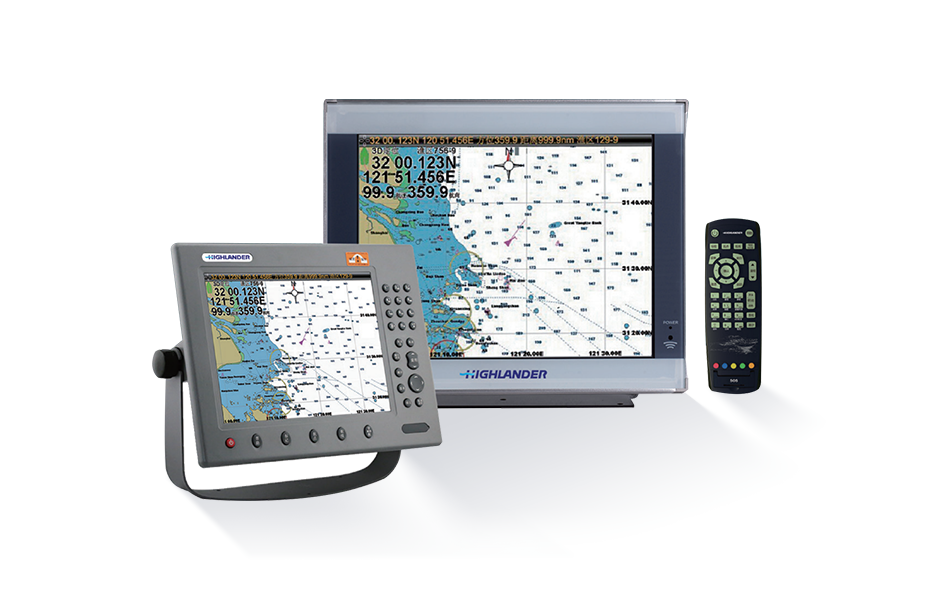
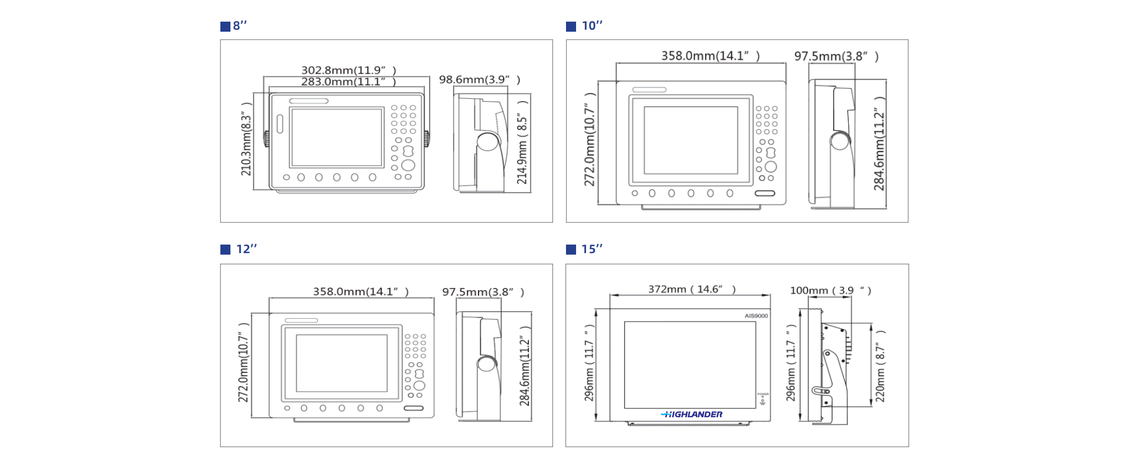
Automatic Identification System
Log (Speed Log)
Electronic Inclinometer
Echo Sounder
Gyrocompass
Intelligent Products
Smart Integrated Platform System
Smart Aids to Navigation System
Smart Shore-Based Management System
Smart Energy Efficiency System
Smart Equipment Operation and Maintenance System
Smart Navigation System
Smart Video Surveillance System
Engine Room Automation
Deep-Sea Equipment
Subsea Observatory Network
Deep-Sea Key Components
Deep-Sea Key Components
In-Situ Observation Platform
In-Situ Observation Platform